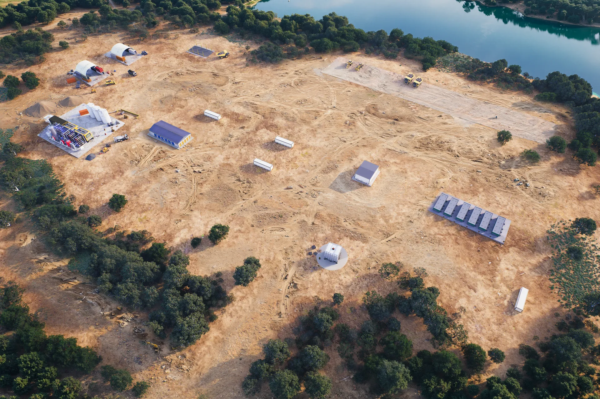
MGX Site Aerial
A drone-height aerial of a rural site with staged development modules.
Aerial context renders composited with terrain data to show phasing across the site.
Aerial context renders composited with terrain data to show phasing across the site.